
EN
EN


The Evasion Mont-Blanc sheet. Megève's own skiing is the three hills around the village — Mont d'Arbois, Rochebrune and Le Jaillet — and the same pass carries you on to Saint-Gervais and Les Contamines on the rest of the map.
Chamonix is over the mountain and on a different pass entirely. It is twenty minutes by road and a completely different kind of skiing.
Megève ski resort guide · Evasion Mont-Blanc
Megève sits in a broad sunny saddle rather than under a mountain, and the map reflects that: three modest wooded hills arranged around the village, none of them over 2,000 m, with long gentle runs spreading down the flanks of each. Mont d'Arbois is the largest and the one that connects east to Saint-Gervais and the rest of the sheet. Rochebrune is across the village to the south-west, reached by cable car from the centre. Le Jaillet is the small quiet one to the north. The thing to understand is that the three only join loosely, and the village itself is the hub between them.
GreenBlueRedBlack445 km across Evasion Mont-Blanc, 84 lifts, 1,100 m to 2,485 m
The biggest of the three and the one that matters most, with long tree-lined blues and reds and the gondola from the eastern edge of the village. It is also where the map joins Saint-Gervais and continues across the sheet.
The mountain restaurants here are a genuine part of the day rather than a refuelling stop, which is very much the Megève way of doing things.
Across the village, reached by the old cable car from the centre. Côte 2000 above it holds the closest thing to serious terrain on this map — the slalom stadium and a couple of proper reds.
Quieter than Mont d'Arbois and generally better snow, being more shaded.
The smallest sector, running north towards Combloux and La Giettaz, and the one most visitors never reach. Gentle, wooded, and often empty.
Worth a half-day for the views straight across to Mont Blanc, which are the best on the sheet.
Very good. Gentle gradients everywhere, plenty of green and blue on all three hills, and nursery areas at the base of each. The low altitude is the only caution — late-season snow down at village level can be thin.
The level this whole map is built for, and 445 km of it with the pass. The day east across Saint-Gervais and back is the one to do, and it is cruising from start to finish.
Genuinely limited. Côte 2000 has the steepest pistes and they are not very steep. If that matters, you are twenty minutes from Chamonix, and that is the honest answer rather than a sales pitch for this map.
The other half of this same sheet, joined over Mont d'Arbois and on the same pass — a spa town in the valley with its skiing up at Le Bettex.
Twenty minutes east on a separate pass, and the opposite of everything on this map — high, steep, glaciated and serious.
Half an hour west in the Aravis on its own pass, and the closest comparison — another traditional Savoyard village with tree-lined, intermediate skiing.
Package holidays to Megève with flights, transfers, accommodation and lift pass, all booked together.
See Megève ski holidays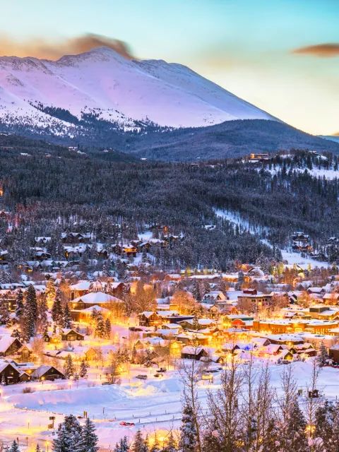
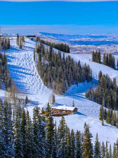
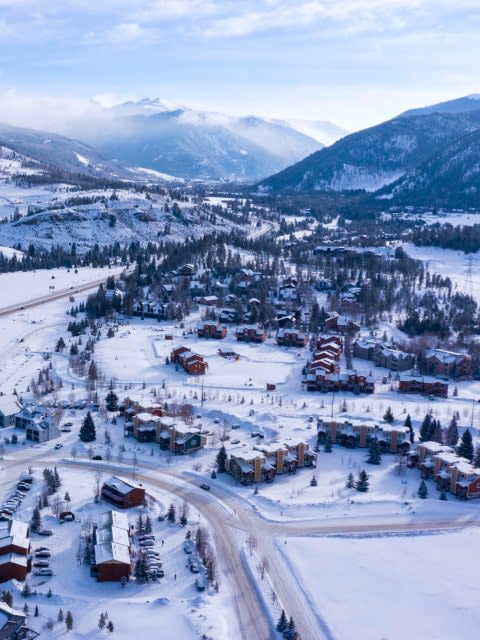



WeSki is a trading name operated by Wetrip Weski Ltd (BR021500). All the flights and flight-inclusive vacations on this website are financially protected by the ATOL scheme. When you pay you will be supplied with an ATOL Certificate. Please ask for it and check to ensure that everything you booked (flights, hotels and other services) is listed on it. Please see our booking conditions for further information or for more information about financial protection and the ATOL Certificate go to: www.caa.co.uk.
Package vacations that do not include travel by air are financially protected via ABTOT.
For the latest travel advice from the Foreign & Commonwealth Office visit www.gov.uk/foreign-travel-advice.
Weski Europe BV (Chamber of Commerce registration number 87334100) is a registered participant of SGR. You can verify this on www.sgr.nl/english. Vacations listed on this website are covered by SGR’s guarantee, within the terms of the SGR guarantee scheme. Under SGR’s guarantee, consumers shall have their prepaid travel sum refunded if their counterparty is unable to fulfill its contractual obligations due to financial inability. Insofar as the agreement includes the transport and the destination has already been reached, the return trip will be arranged.