
EN
EN
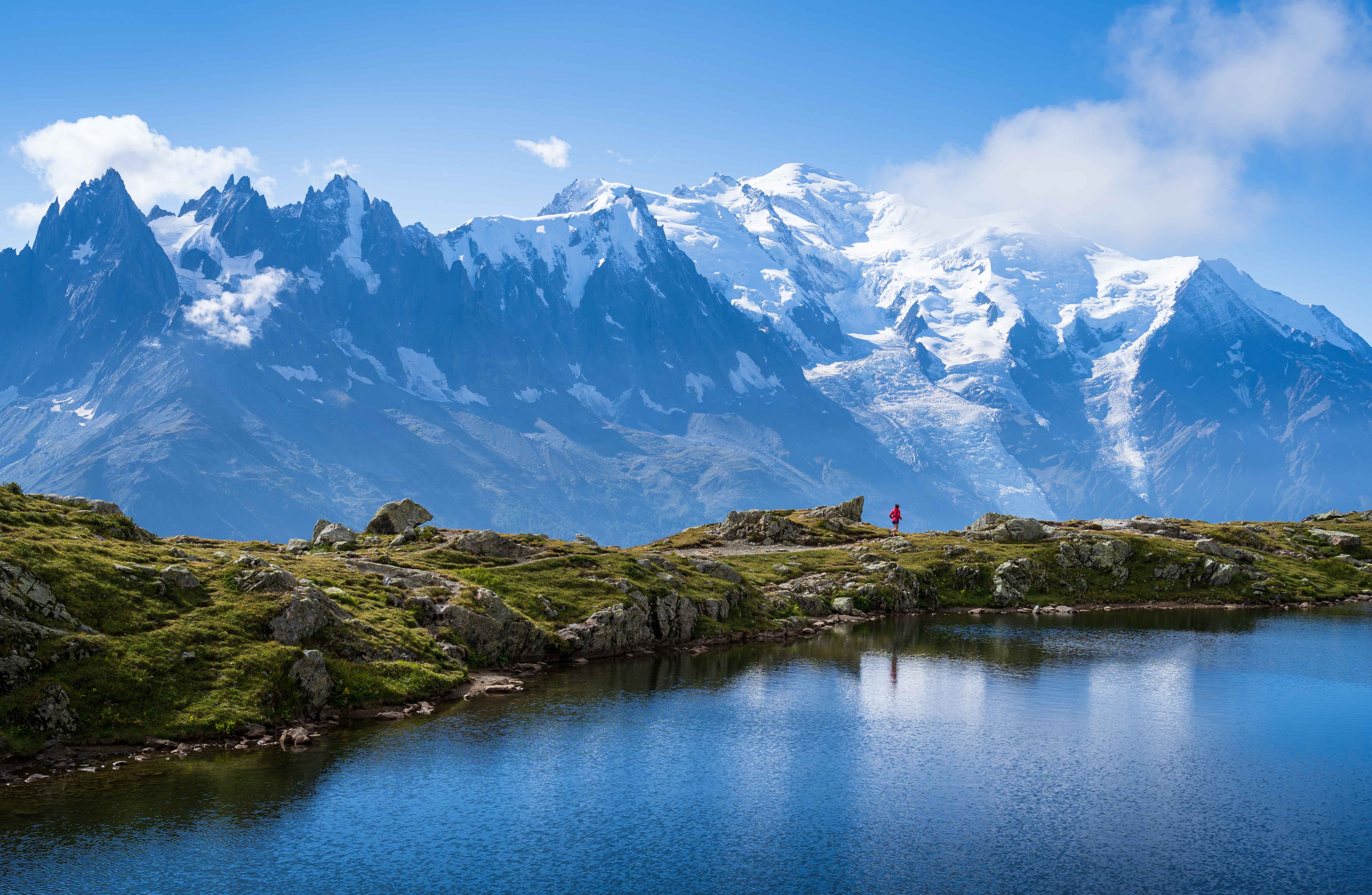
One mountainside at the entrance to the Chamonix valley, rising from the village to Le Prarion and across to Bellevue. The Chamonix Le Pass covers it, as does the local Les Houches ticket if you are staying put.
The other four Chamonix sectors are on their own sheets up the valley and none of them is reachable on skis from here — the free valley bus and the Mont Blanc Express are the links.
Les Houches ski resort guide · Ski resorts in France
A broad wooded flank with two lifts out of the valley floor, one at each end, and the runs spread between them. Nothing here is high — the top is 1,900 m, which is under half the height of the Aiguille du Midi a few kilometres up the road — and that is the whole character of the sheet. Trees all the way to the top means definition in flat light, shelter in wind, and a mountain that stays open on days when Chamonix's high sectors are shut. Read it as the valley's bad-weather insurance and the shape makes sense immediately.
GreenBlueRedBlack55 km, 16 lifts, 950 m to 1,900 m
The gondola from Les Houches lands here, and the runs beneath it are long, tree-lined blues and reds with a gentler pitch than anything else in the valley. The nursery ground sits at the bottom near the lift base.
On the sheet it reads as the broad side with most of the lines on it. It is also where the Prarion link across to Saint-Gervais goes from.
The cable car side, reached from the far end of the village, with the Mont Blanc Tramway running up behind it. This is where the pitch is: La Verte is the Kandahar World Cup downhill, and in good conditions it is far more enjoyable than its reputation suggests.
Bellevue at the top is the crossing point towards the Evasion Mont-Blanc map, which is a separate pass.
The best beginner mountain in the Chamonix valley by a wide margin, and the usual answer when a mixed group wants Chamonix but someone in it is learning. Chamonix or Les Houches sets out the trade in full.
Comfortable rather than extensive — 55 km will not fill a week on its own. The point of being here is that the Chamonix pass puts the other four sectors on the bus, so you use this sheet as a base and travel for variety.
La Verte is the whole answer, and it is a real one. Beyond it there is little marked steep terrain, which is why experienced skiers tend to base here for the quiet and the trees and commute to Les Grands Montets for the rest.
Ten minutes up the valley on the same pass, and the reason most people are here at all — four more sectors, all of them higher and harder than this one.
Over the Bellevue plateau at the top of this sheet, on the Evasion Mont-Blanc pass rather than this one. Physically linked, commercially separate.
The far end of the Evasion map, about half an hour by road, and the gentlest big ski area within reach of this valley.
Package holidays to Les Houches with flights, transfers, accommodation and lift pass, all booked together.
See Les Houches ski holidays



WeSki is a trading name operated by Wetrip Weski Ltd (BR021500). All the flights and flight-inclusive vacations on this website are financially protected by the ATOL scheme. When you pay you will be supplied with an ATOL Certificate. Please ask for it and check to ensure that everything you booked (flights, hotels and other services) is listed on it. Please see our booking conditions for further information or for more information about financial protection and the ATOL Certificate go to: www.caa.co.uk.
Package vacations that do not include travel by air are financially protected via ABTOT.
For the latest travel advice from the Foreign & Commonwealth Office visit www.gov.uk/foreign-travel-advice.
Weski Europe BV (Chamber of Commerce registration number 87334100) is a registered participant of SGR. You can verify this on www.sgr.nl/english. Vacations listed on this website are covered by SGR’s guarantee, within the terms of the SGR guarantee scheme. Under SGR’s guarantee, consumers shall have their prepaid travel sum refunded if their counterparty is unable to fulfill its contractual obligations due to financial inability. Insofar as the agreement includes the transport and the destination has already been reached, the return trip will be arranged.