
EN
EN
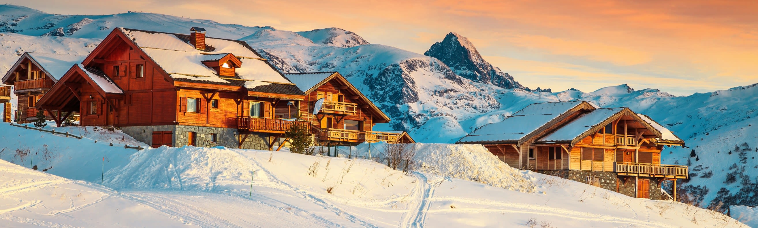
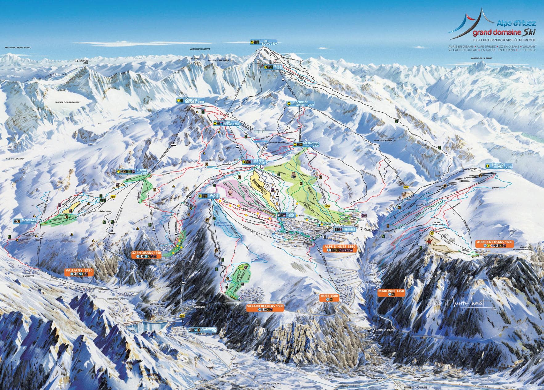
The full Alpe d'Huez Grand Domaine: the main resort bowl, the Pic Blanc and the Sarenne glacier at the top, and the four satellite villages — Vaujany, Oz-en-Oisans, Auris-en-Oisans and Villard-Reculas — that sit round the rim. One pass covers all of it.
Les Deux Alpes is the other big name in this valley and it is not on this sheet or this pass. The two are about forty minutes apart by road.
Alpe d'Huez ski resort guide · Ski resorts in France
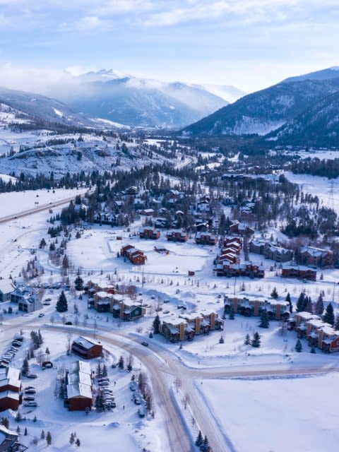
The shape to hold in your head is a bowl with a spike on one side. The main resort sits on a broad sunny shelf at 1,860 m with gentle terrain spread right across it, and the whole thing faces south — which is the resort's famous selling point and also why the lower runs go slushy by March afternoon. The spike is the Pic Blanc at 3,330 m, reached by the Grandes Rousses gondola and then the Dôme cable car, and it accounts for almost everything serious on the map. The satellite villages hang off the western and eastern rims and are easy to miss on first reading, which is a pity because they hold the quietest skiing.
GreenBlueRedBlack250 km, 84 lifts, 1,100 m to 3,330 m
A huge, open, sunny apron of blue and green runs immediately above and beside the village, and the reason Alpe d'Huez is such a comfortable place to be a beginner or an improver. The Signal hump on the western side is the gentlest ground of all.
Almost nothing here is steep, and on the map it reads as the wide uncluttered area with lifts running straight up out of the resort.
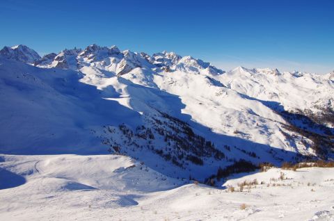
The serious half. Two gondolas and a cable car take you from 1,860 m to 3,330 m, and the terrain up there is high, glaciated in places and north-facing on the back side, which is where the snow actually keeps.
The Sarenne drops off the back of the Pic Blanc and runs 16 km down a hidden gorge to the valley floor — the longest black in the Alps, and genuinely more about length and remoteness than pitch.
The far side of the map, reached across the Alpette and L'Enversin, with a huge cable car dropping from Vaujany into its own valley. Noticeably emptier than the main bowl and tree-lined lower down.
Worth a day even if you are staying in Alpe d'Huez itself, and worth considering as a base if the scale of the main resort does not appeal.
Two small villages on the edge of the sheet with their own quiet sectors, both facing differently from the main bowl, which makes them useful when the sun has wrecked the central runs.
Villard-Reculas in particular is often empty and has the best north-facing snow on the lower half of the map.
Among the best in France. The nursery ground is enormous, flat, sunny and right in the village, and there are free lifts on it. The one thing to know is that the step up from the resort shelf to the rest of the map is a big one.
250 km of mostly blue and red, and the satellites give you somewhere to go when the main bowl is busy. Vaujany or Alpe d'Huez is the useful read if you are choosing where to sleep.
The Pic Blanc is the whole answer: the Tunnel, the Combe du Loup, the Balme and the Sarenne. The off-piste down the back of the Pic Blanc towards Clavans is serious terrain and wants a guide. Alpe d'Huez or Les Deux Alpes compares the two valleys honestly.
Across the valley on a separate pass and the standing comparison — a map you read straight up, where this one spreads sideways.
On this map rather than beside it, but a village in its own right — the quiet, traditional way into the same 250 km.
An hour and a half south on its own pass, and the obvious alternative if trees and shade matter more to you than sunshine.
Package holidays to Alpe d'Huez with flights, transfers, accommodation and lift pass, all booked together.
See Alpe d'Huez ski holidays



WeSki is a trading name operated by Wetrip Weski Ltd (BR021500). All the flights and flight-inclusive vacations on this website are financially protected by the ATOL scheme. When you pay you will be supplied with an ATOL Certificate. Please ask for it and check to ensure that everything you booked (flights, hotels and other services) is listed on it. Please see our booking conditions for further information or for more information about financial protection and the ATOL Certificate go to: www.caa.co.uk.
Package vacations that do not include travel by air are financially protected via ABTOT.
For the latest travel advice from the Foreign & Commonwealth Office visit www.gov.uk/foreign-travel-advice.
Weski Europe BV (Chamber of Commerce registration number 87334100) is a registered participant of SGR. You can verify this on www.sgr.nl/english. Vacations listed on this website are covered by SGR’s guarantee, within the terms of the SGR guarantee scheme. Under SGR’s guarantee, consumers shall have their prepaid travel sum refunded if their counterparty is unable to fulfill its contractual obligations due to financial inability. Insofar as the agreement includes the transport and the destination has already been reached, the return trip will be arranged.