
EN
EN
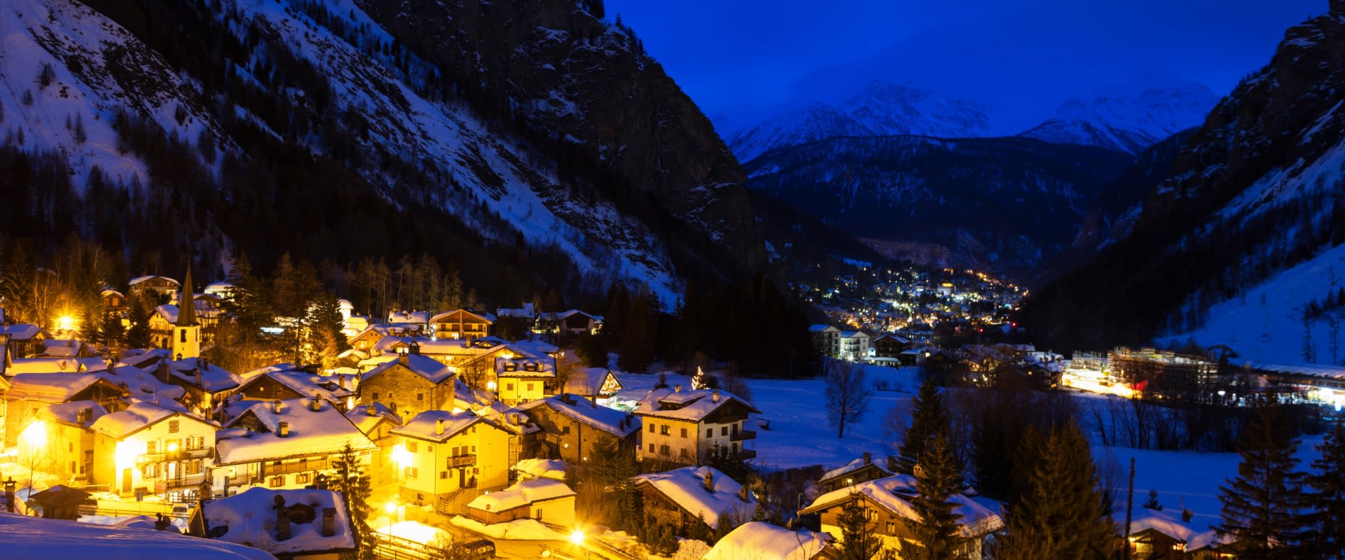
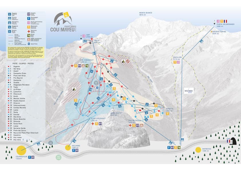
The Courmayeur ski area: Plan Checrouit above the town and Val Veny over the ridge behind it, on one local pass.
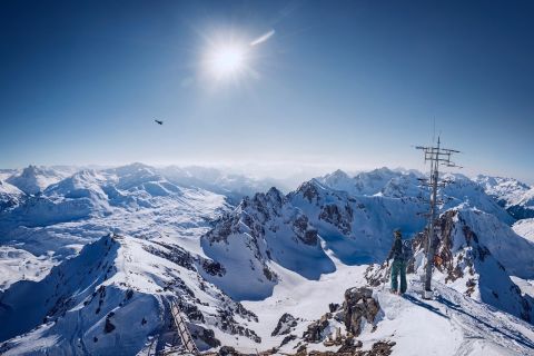
The Skyway Monte Bianco, which climbs to Punta Helbronner at 3,466 m, is on a separate ticket and is not lift-served skiing — it is the Italian entrance to the Vallée Blanche and guided off-piste terrain only. The Aosta Valley pass adds Cervinia, Pila and La Thuile by road.
Courmayeur ski resort guide · Ski resorts in Italy
A single ridge with a face on each side, and the town below neither of them. The cable car from Courmayeur lifts you to Plan Checrouit at 1,700 m, where the whole map actually starts; from there the sunny side falls back towards the town and the shaded side drops behind into Val Veny. There is no piste home, so at the end of the day everyone rides the cable car back down — which concentrates the entire resort into one queue at four o'clock and is worth planning around. The compensation is that the town below is a proper Alpine town rather than a lift station.
11 blue17 red5 black33 runs, 100 km, 18 lifts, 1,224 m to 2,765 m
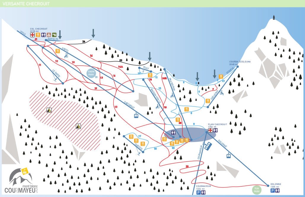
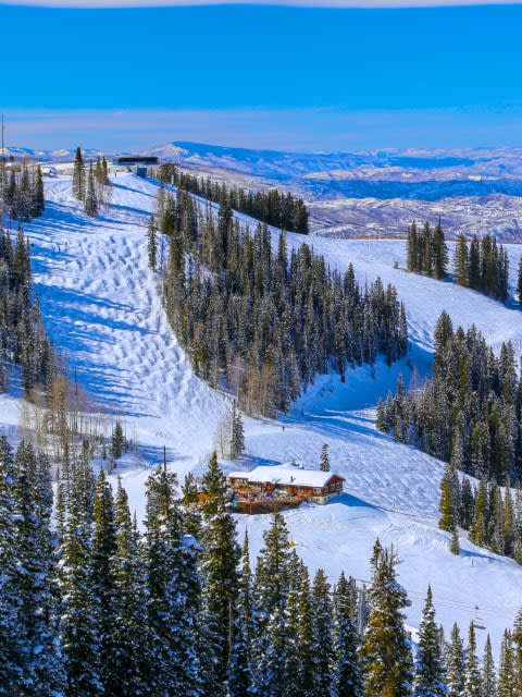
Where the cable car lands and where the week is based: a shelf of restaurants and the main nursery ground, with wide south-facing runs above it. This is the busy, sociable half of the mountain and the long Italian lunch is a genuine part of it.
Being south-facing it softens fast, so it is best skied in the morning and left alone after two.
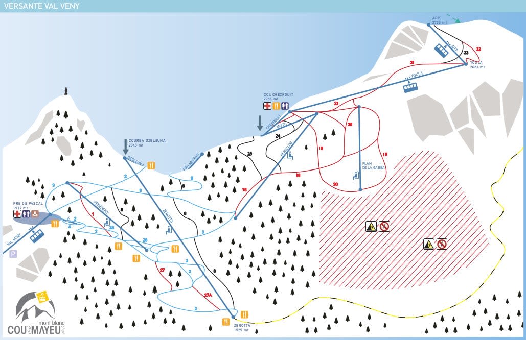
The other half, dropping north into a wooded valley under the Mont Blanc massif. Colder, quieter, better snow, longer runs and the best views on the map — the Grandes Jorasses stand straight in front of you.
Switch to this side after lunch. It is the simplest and most useful piece of planning on this mountain.
The rotating cable car from Entrèves to 3,466 m. It is not part of the ski area and carries no pistes, but it is on every Courmayeur visitor's list — as a viewing platform, or as the start of the Vallée Blanche with a guide.
If you are not skiing it, go up on a clear afternoon instead of fighting for the last runs.
Workable rather than ideal. The nursery ground at Plan Checrouit is good and well positioned, but there is little true green above it and the blues step up quickly. Having to ride the cable car home each day is an extra thing for a nervous first-timer to handle.
The level the mountain suits, and the Val Veny side is where the best of it is. 100 km is modest, so a week here is usually two or three days at Courmayeur plus day trips — Pila and Cervinia are both on the valley pass.
Only five marked blacks, but this is one of the great off-piste bases in the Alps. The Vallée Blanche from Punta Helbronner, the Youla and Arp couloirs, and the Val Veny trees after a storm. All guided terrain. Courmayeur or Chamonix weighs the two sides of the tunnel.
Fifteen minutes through the Mont Blanc tunnel on a separate pass, and the same massif from the French side — bigger, higher and far more serious.
Down the valley above Aosta, on the Aosta Valley pass — sunnier, gentler and a good second or third day from here.
The far end of the same valley pass, and the high-altitude option, with the link over the glacier to Zermatt.
Conditions before you go · Courmayeur webcams
Package holidays to Courmayeur with flights, transfers, accommodation and lift pass, all booked together.
See Courmayeur ski holidays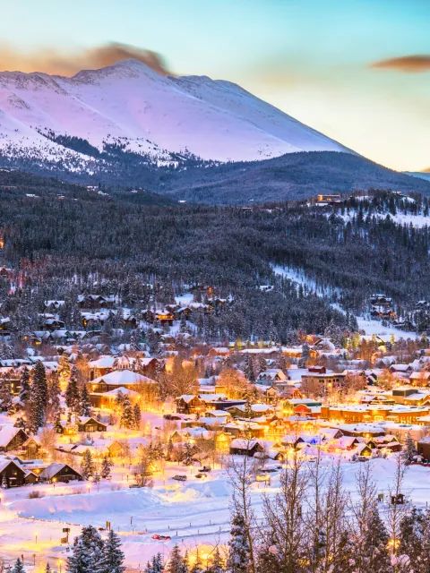


WeSki is a trading name operated by Wetrip Weski Ltd (BR021500). All the flights and flight-inclusive vacations on this website are financially protected by the ATOL scheme. When you pay you will be supplied with an ATOL Certificate. Please ask for it and check to ensure that everything you booked (flights, hotels and other services) is listed on it. Please see our booking conditions for further information or for more information about financial protection and the ATOL Certificate go to: www.caa.co.uk.
Package vacations that do not include travel by air are financially protected via ABTOT.
For the latest travel advice from the Foreign & Commonwealth Office visit www.gov.uk/foreign-travel-advice.
Weski Europe BV (Chamber of Commerce registration number 87334100) is a registered participant of SGR. You can verify this on www.sgr.nl/english. Vacations listed on this website are covered by SGR’s guarantee, within the terms of the SGR guarantee scheme. Under SGR’s guarantee, consumers shall have their prepaid travel sum refunded if their counterparty is unable to fulfill its contractual obligations due to financial inability. Insofar as the agreement includes the transport and the destination has already been reached, the return trip will be arranged.