
EN
EN
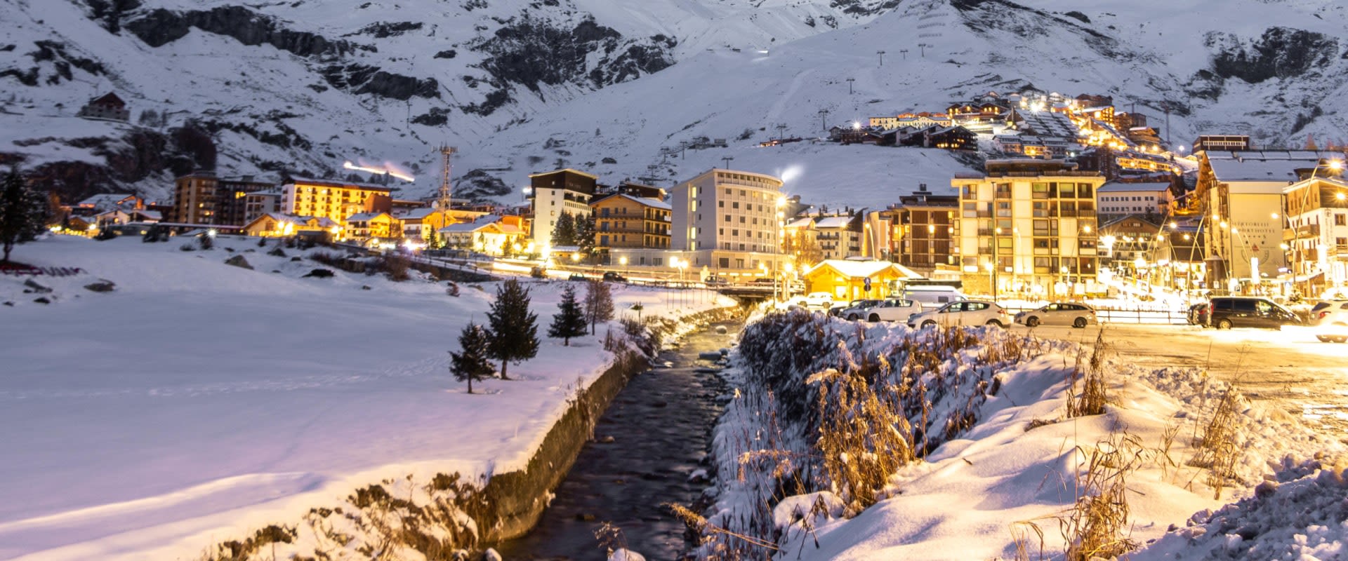

The Italian side of the Matterhorn: Breuil-Cervinia at the head of the valley, Valtournenche below it, and the glacier ground at Plateau Rosà and Testa Grigia along the top edge. The standard Cervinia pass covers all of that.
Zermatt appears over the ridge at the top of the sheet, but it is on the other side of the border and needs the international pass. Buy the local ticket and the top lifts are still yours — you simply turn round at the frontier instead of skiing down the far side.
Cervinia ski resort guide · Matterhorn Ski Paradise
Read this map as a long ramp rather than a bowl. It starts at Valtournenche at the bottom of the sheet, climbs through Cervinia at 2,050 m, and keeps climbing to glacier ground just under 3,500 m, with the Matterhorn standing off to one side the whole way. The gradient is the striking thing: for a map that reaches 3,480 m there is remarkably little steep terrain on it, because the pitch is spread over enormous distances. Runs here are measured in kilometres, not minutes.
12 green30 blue14 red4 black60 runs, 150 km, 2,050 m to 3,480 m
The wide shelf directly above the village and the first thing you reach from the lifts out of Breuil. Nearly everything on it is blue, the gradients are shallow, and it is where the ski school works. On the map it reads as the broad open area with lifts fanning out of it in every direction.
It is also the junction: every route up the mountain and every route home passes through Plan Maison, so it is the one part of the sheet that gets genuinely busy.

The high ground on the frontier, and the only place on the map where you cross into Switzerland. The runs off it are long, wide blues at well over 3,000 m, which is the combination that makes Cervinia the reliable-snow choice in this valley.
If you have the international pass, this is where you drop over to Zermatt. If you do not, this is where you turn around — and the run home from here to the village is 11 km, so it is not a consolation prize.
The lower valley, linked in by the Cime Bianche lifts and often skipped entirely by people basing themselves in Cervinia. It sits lower, so it holds the sheet's trees and the terrain that is still skiable when the top is windbound.
The run down to Valtournenche is the longest single descent on the map. Check the lift times before you commit to it late in the day, because the way back is a long one.
Few resorts at this altitude are this kind to beginners. The Plan Maison shelf is almost all blue and green, the gradients are gentle, and the snow is dependable from December to April — which is the real argument for Cervinia on a first trip.
The whole sheet, essentially. The descent from Plateau Rosà to Cervinia is 11 km of continuous blue, and the run on to Valtournenche adds more. If you have the international pass, a day over to Zermatt and back is the standout day out.
The thinnest part of the offer: four blacks on the sheet and nothing sustained. Strong skiers come here for the altitude, the off-piste and the Zermatt link rather than for the marked steep terrain, and most are better served basing on the Swiss side.
Over the top of this map and across the border, on the same mountain and the same glacier. Shown on this sheet, but you need the international pass to ski down the far side.
An hour west down the Aosta valley on a separate pass, and the opposite character: shorter, steeper, tree-lined runs and a village with considerably more going on.
Above Aosta itself and reached by cable car from the town, another Aosta valley option on its own ticket — quieter slopes, lower altitude, and a long way from the crowds at Plan Maison.
Conditions before you go · Breuil-Cervinia webcams
Package holidays to Cervinia with flights, transfers, accommodation and lift pass, all booked together.
See Cervinia ski holidays



WeSki is a trading name operated by Wetrip Weski Ltd (BR021500). All the flights and flight-inclusive vacations on this website are financially protected by the ATOL scheme. When you pay you will be supplied with an ATOL Certificate. Please ask for it and check to ensure that everything you booked (flights, hotels and other services) is listed on it. Please see our booking conditions for further information or for more information about financial protection and the ATOL Certificate go to: www.caa.co.uk.
Package vacations that do not include travel by air are financially protected via ABTOT.
For the latest travel advice from the Foreign & Commonwealth Office visit www.gov.uk/foreign-travel-advice.
Weski Europe BV (Chamber of Commerce registration number 87334100) is a registered participant of SGR. You can verify this on www.sgr.nl/english. Vacations listed on this website are covered by SGR’s guarantee, within the terms of the SGR guarantee scheme. Under SGR’s guarantee, consumers shall have their prepaid travel sum refunded if their counterparty is unable to fulfill its contractual obligations due to financial inability. Insofar as the agreement includes the transport and the destination has already been reached, the return trip will be arranged.