
EN
EN


The whole Jasná ski area in the Low Tatras: the northern slopes above Jasná and Záhradky, and the southern slopes dropping towards Srdiečko and Krupová, with Chopok at 2,024 m between them. One pass covers both.
This is the largest ski area in Slovakia and it has no link to anything else. The High Tatras resorts are around an hour and a half away by road.
Jasná ski resort guide · Ski resorts in Slovakia
A single summit with two faces, and the practical reading is simple: the north side is where the snow is and the south side is where the sun is. Chopok sits between them at 2,024 m and the only crossings are the cable cars and chairs over the top, which is the vulnerability of this map — the ridge is exposed and when it shuts, the two sides become separate ski areas with a long road between them. The north side has the village and most of the beds; the south side is quieter, sunnier and worth a day for the long descents.
GreenBlueRedBlackaround 50 km across both sides, 19 lifts, 900 m to 2,024 m
The main sector, with the hotels at the bottom, a modern cable car chain to the summit, and the best snow on the map — it faces north and holds cover well into spring.
This is also where the steeper pistes are, and the freeride terrain between them is what has given Jasná its reputation outside Slovakia.
Over the top, facing the sun, with longer and gentler runs dropping towards the southern valley and far fewer people on them.
It is a good half-day when the north is busy, but check that the summit lifts are running before you commit — the way back by road takes well over an hour.
Perfectly workable. There is gentle ground at the base on both sides and the lift system is modern by regional standards, which puts it ahead of most beginner resorts at this price, with lessons at a fraction of Alpine prices. It belongs on any list of affordable ski resorts.
Enough for three or four days rather than a full week, but the quality is good: well-groomed, quiet, and with genuine vertical off Chopok. The crossing between the two sides is the day to plan.
The real draw. The north-side blacks are steep and the freeride terrain off Chopok and in the Záhradky trees is the best in central Europe — untracked for days after a storm in a way nowhere in the Alps manages.
Over the Tatras on the Polish side, about two hours away — a town with several small separate hills rather than one connected mountain.
Further south in Bulgaria and the other value-led option in this part of Europe, with more vertical and a longer season.
Package holidays to Jasná with flights, transfers, accommodation and lift pass, all booked together.
See Jasná ski holidays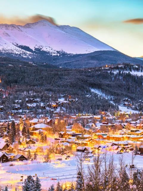



WeSki is a trading name operated by Wetrip Weski Ltd (BR021500). All the flights and flight-inclusive vacations on this website are financially protected by the ATOL scheme. When you pay you will be supplied with an ATOL Certificate. Please ask for it and check to ensure that everything you booked (flights, hotels and other services) is listed on it. Please see our booking conditions for further information or for more information about financial protection and the ATOL Certificate go to: www.caa.co.uk.
Package vacations that do not include travel by air are financially protected via ABTOT.
For the latest travel advice from the Foreign & Commonwealth Office visit www.gov.uk/foreign-travel-advice.
Weski Europe BV (Chamber of Commerce registration number 87334100) is a registered participant of SGR. You can verify this on www.sgr.nl/english. Vacations listed on this website are covered by SGR’s guarantee, within the terms of the SGR guarantee scheme. Under SGR’s guarantee, consumers shall have their prepaid travel sum refunded if their counterparty is unable to fulfill its contractual obligations due to financial inability. Insofar as the agreement includes the transport and the destination has already been reached, the return trip will be arranged.